
Website elements / Dates and events
Race course
Shows a map of the course, its length, the climbing and the key points, such as feed stations or a dangerous section. Competitors know what they're in for.
Included in the yearly price. If your website goes beyond the standard size, it costs €2£1.75 a month.
Elegant
A centred contour map with three facts below it. Dark background, gold accent, fine lines.
All elements in the Elegant style
Round Stony Fell
Feed stations at the keeper's lodge (km 15) and Mill Tarn (km 27). The Raven Gill descent at km 22 is rocky, so ride carefully.
Street
A collage: the map as a cut-out with stickers and warning tape. Yellow and raspberry, narrow bold type, labels like stickers.
All elements in the Street style
32 km
540 m
up
Feed stations at km 15 and 27
Swiss
An elevation profile in a grid with the distance to each point. White, black and a single red, rules instead of boxes.
All elements in the Swiss style
- Climbing
- 540 m
- Highest
- 612 m
- Limit
- 4 hrs
Course: Round Stony Fell
Cosy
A hand-drawn map on a card with the organiser's notes. Cream background, terracotta, soft serif type.
All elements in the Cosy style
Here's your ride
The loop is 32 km with 540 m of climbing, nearly all of it in the first 9 km. After that it's mostly downhill, then flat round the tarn.
Start 8:00 in the Market Square, 4-hour limit
The Raven Gill descent at km 22 is rocky
Tom Fletcher, organiser
Magazine
A feature: a landscape photo, sections in columns and a small map. Large serif headlines, italics, laid out like a magazine.
All elements in the Magazine style
Thirty-two kilometres round Stony Fell
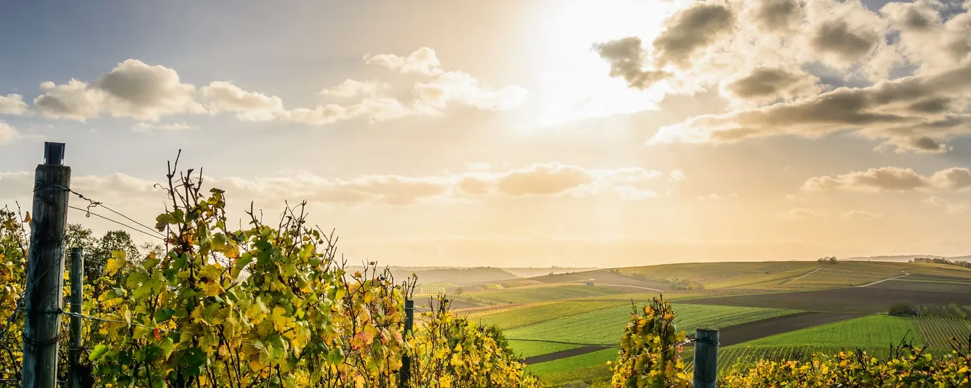
The start is in the Market Square at eight in the morning. For the first nine kilometres you climb a forest track to the summit, 612 metres above sea level, and that's where the field spreads out.
km 15 The first feed station is at the keeper's lodge: water, bananas and tea.
km 22 The Raven Gill descent is the most technical part. Roots and loose rocks, so leave yourself a margin.
km 27 Mill Tarn: the second feed station and the first aid point. Then it's just the flat run to the finish.
Playful
The course as a board game with squares and bubbles. Pastel background, rounded shapes and type, wavy lines and bubbles.
All elements in the Playful style
The way round Stony Fell
32 km · 540 m up · 4 hrs- Start and finish in the Market Square
- Stony Fell, highest point
- Keeper's lodge, tea and bananas
- Raven Gill, watch out for rocks
- Mill Tarn, water and first aid
Bold
Giant numbers in a band and a full-width climb profile. Strong colour, bold type, sharp edges.
All elements in the Bold style
Keeper's lodge
Water, bananas, tea
Raven Gill descent
Rocks and roots. Slow down.
Mill Tarn
Water and first aid
Conservative
A map with numbered points and a key beside it. White background, one colour, serif headings.
All elements in the Conservative style
32 km course
| Distance | Climbing | Feed stations | Time limit |
|---|---|---|---|
| 32 km | 540 m | 2× | 4 hours |
Scale: 1 cm ≈ 1 km · ridden clockwise
- Start and finish
Market Square, registration from 7:30 - Stony Fell, km 9
end of the climb, highest point - Keeper's lodge, km 15
feed station, water and bananas - Raven Gill descent, km 22
roots and rocks, ride carefully - Mill Tarn, km 27
feed station, first aid
The texts and photos are examples. Your website will have your own, in the style you choose.
Want it on your website?
Choose your elements in our guide to a new website. You'll see straight away what your website will cost. Your two finished designs usually arrive within two working days.
Open the guide →